
Live radar
Know where your fleet is
Follow aircraft on a smooth live map. See flight trails, altitude, speed, and whether an aircraft is flying, taxiing, or has landed.

Aircraft tracking. Connected operations.
A clear view of your fleet.
A better way to run the day.
Flight schools Time-building teams Flying clubs
Your operation, in view
Your aircraft, airport weather, and daily briefing belong together. Get the full picture without piecing it together.
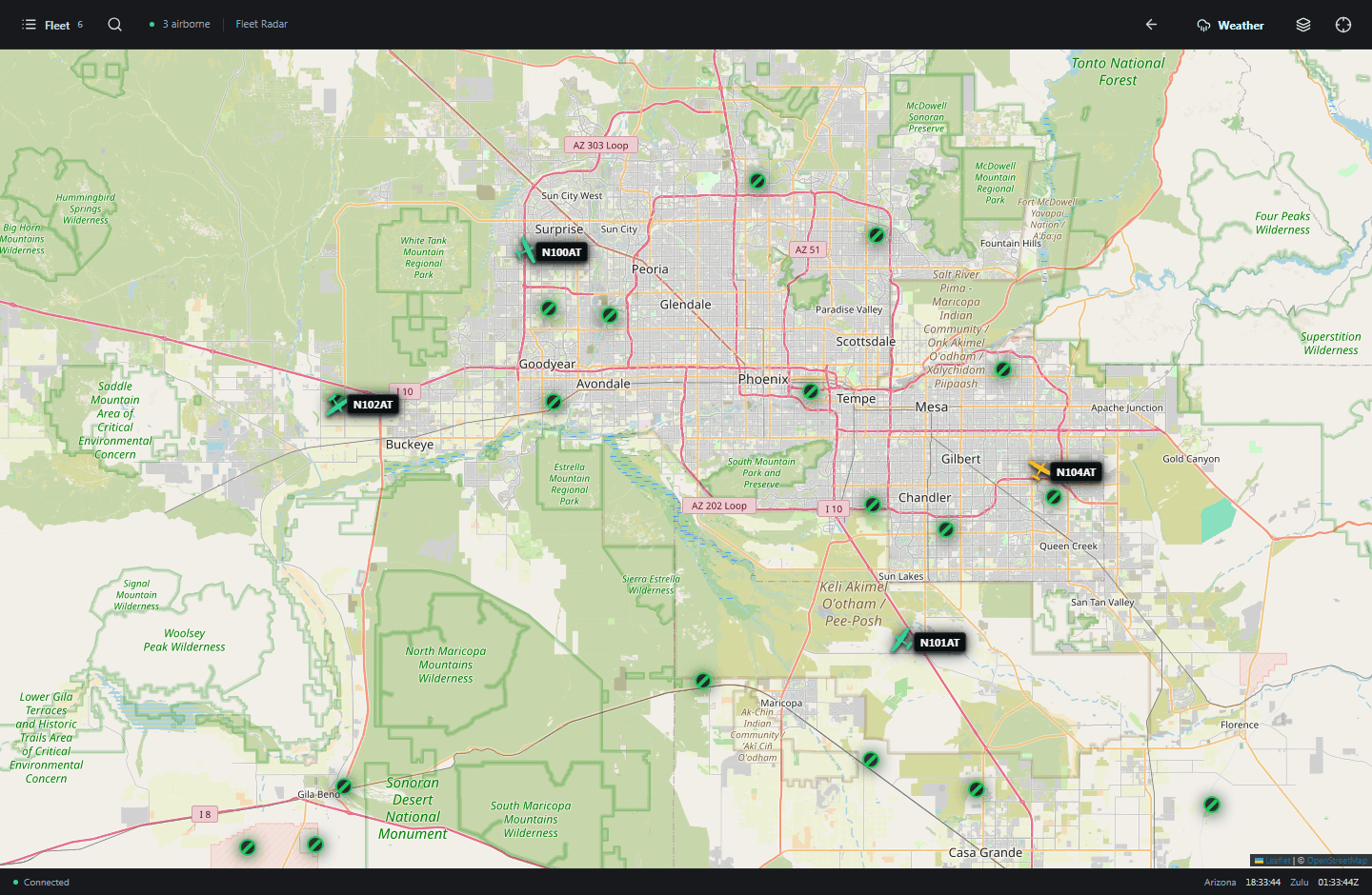
Follow your fleet, select an aircraft, and see its flight trail and current status. Keep the radar open on a dedicated screen or take it with you.
Product preview shown with sample fleet data.
From departure to debrief
Live radar
Follow aircraft on a smooth live map. See flight trails, altitude, speed, and whether an aircraft is flying, taxiing, or has landed.
Checkouts & dispatch
Connect aircraft checkouts with the pilot, planned route, and engine time. Give your team a clear picture of the day ahead.
History & replay
Go back through flight history, review routes, and replay flights in 2D or 3D. Bring onboard flight logs into the review, too.
Maintenance & alerts
Track maintenance issues and aircraft availability. Send selected operational and weather alerts to your team's GroupMe.
Your company. Your workspace.
Keep the tools you need, hide the ones you don't, and give each person the right level of access. The same workspace follows you from the operations desk to your phone.
A workspace for your company
Flight schools, time-building companies, flying clubs, and other teams that need a shared view of their aircraft and daily operations.
Yes. Company owners can turn optional sections on or off, including dispatch, maintenance, cadet checkouts, and daily operations. Your workspace can stay focused on what your company needs.
Add your aircraft by registration and confirm its tracking code. ASTRAIOS uses available ADS-B reports to show its position and flight history. Coverage and update frequency depend on the aircraft's transmissions and nearby receivers.
You can choose airports across all 50 US states: a state or region, a radius around an airport, specific airports, or nationwide coverage. Airport details include available METARs and TAFs, with nearby-station reports clearly identified when needed.
Each company has its own workspace. Team roles control who can view or change aircraft, flights, checkouts, and operational settings.
Choose a package when creating your company workspace. Payments are handled through Stripe, and authorized company owners can manage their subscription and invoices from the app.
Ready when you are
For fleet awareness and operational review. Not a replacement for approved navigation, weather briefings, or flight planning.